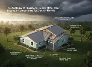
Flood zone permits, coastal line review, and seawall authorization are the three approvals that decide when a South Florida waterfront project can actually start. They run on state and federal calendars rather than the building department’s, they cannot be pressed, and they are almost always opened later than they should be. Expediting them is entirely a matter of sequence and completeness.
Key takeaways
- Which approvals are we actually talking about?
The South Florida approvals in question are three families: floodplain review, which sets the required elevation and governs construction below it; Coastal Construction Control Line review, which applies to work seaward of the state line on the sandy Atlantic shoreline; and shoreline authorization for seawalls and docks on sovereign submerged lands. - Why do these set the start date?
These state and federal approvals set the start date because they are independent of local review and frequently longer. - What does floodplain review require?
Floodplain review in Broward, Palm Beach, or Miami-Dade requires a current survey, the flood zone determination, the base flood elevation, the proposed finished floor elevation with any local freeboard, details of any enclosure below that elevation, and flood-damage-resistant construction where applicable. - What triggers coastal line review?
Coastal line review is triggered by any construction or excavation seaward of the Florida Coastal Construction Control Line: the residence, foundations, pools, decks, dune walkovers, armoring, landscaping that disturbs the dune, and exterior lighting.
Which approvals are we actually talking about?
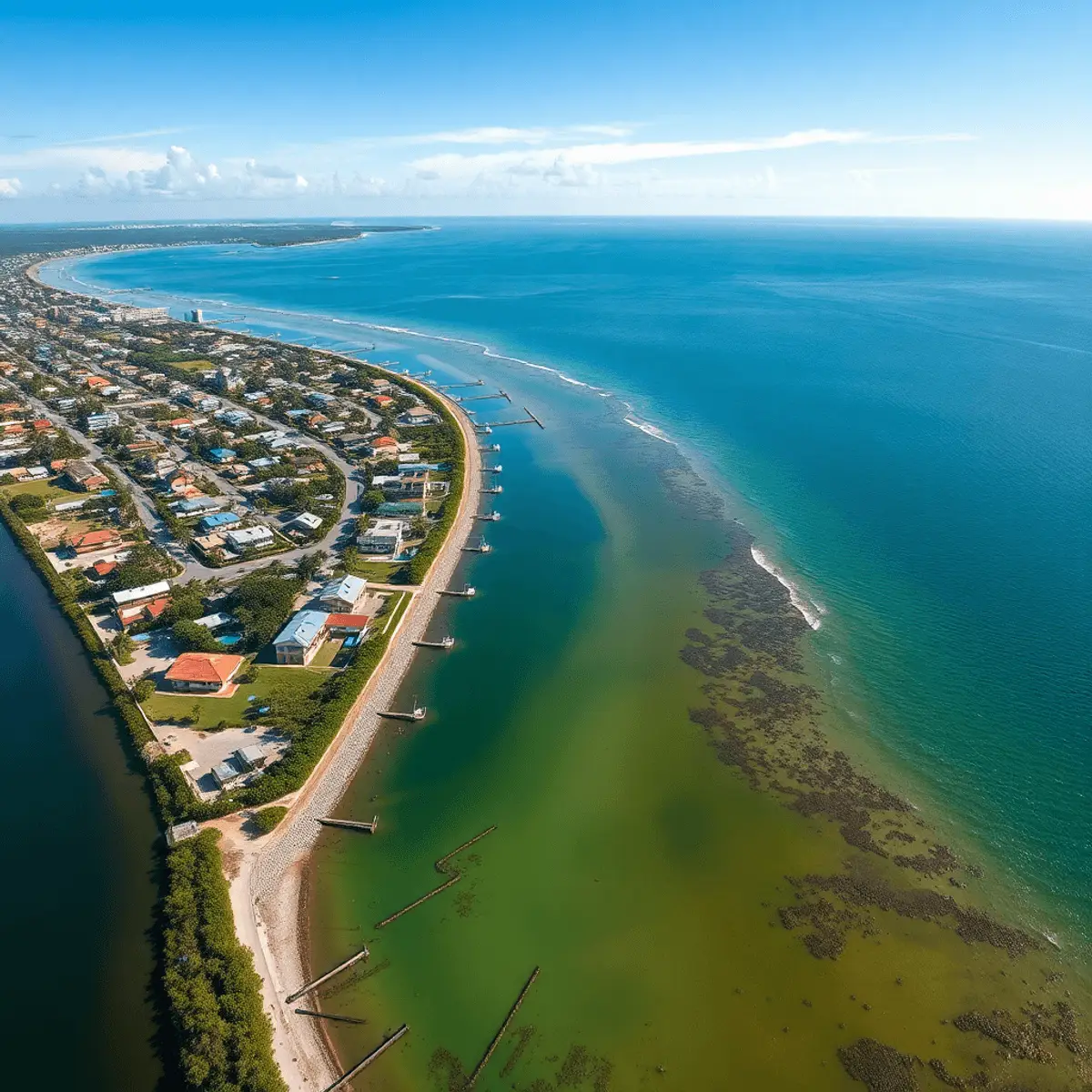
The South Florida approvals in question are three families: floodplain review, which sets the required elevation and governs construction below it; Coastal Construction Control Line review, which applies to work seaward of the state line on the sandy Atlantic shoreline; and shoreline authorization for seawalls and docks on sovereign submerged lands. Flood zone permits are the one that applies to nearly every waterfront parcel.
The coastal program is published by Florida DEP.
Why do these set the start date?
These state and federal approvals set the start date because they are independent of local review and frequently longer. A building department can only issue once the elevation is settled and the shoreline scope is authorized, so flood zone permits and coastal approvals sit upstream of everything. A project that files them last has effectively scheduled its own delay.
The wider sequence is in the South Florida luxury home permitting process.
What does floodplain review require?
Floodplain review in Broward, Palm Beach, or Miami-Dade requires a current survey, the flood zone determination, the base flood elevation, the proposed finished floor elevation with any local freeboard, details of any enclosure below that elevation, and flood-damage-resistant construction where applicable. Flood zone permits are refused or delayed most often because the survey is old or the elevation documentation is incomplete.
Maps are published through the FEMA Map Service Center, with local administration described at the Florida Division of Emergency Management.
What triggers coastal line review?
Coastal line review is triggered by any construction or excavation seaward of the Florida Coastal Construction Control Line: the residence, foundations, pools, decks, dune walkovers, armoring, landscaping that disturbs the dune, and exterior lighting. It is a jurisdictional boundary rather than a setback, and it is established by survey rather than assumption.
The detail is in the Coastal Construction Control Line explained.
What does seawall authorization involve?
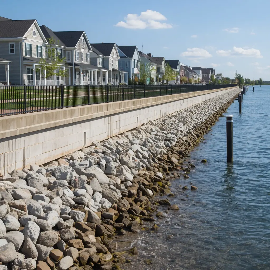
Seawall authorization involves State of Florida authorization for occupying sovereign submerged lands, environmental resource review coordinated with the water management district, local building review of the structure itself, and federal review where the work reaches navigable waters. It runs alongside flood zone permits rather than after them.
State programs are at Florida DEP and the South Florida Water Management District, with the sequence in the permitting process for new seawalls.
| Approval | Applies to | What it requires |
|---|---|---|
| Floodplain review | Nearly every waterfront parcel | Current survey, flood zone, base flood elevation, freeboard |
| Coastal Construction Control Line | Work seaward of the line on the Atlantic shore | Survey locating the line, coastal engineering, lighting plan |
| Shoreline authorization | Seawalls and docks on submerged lands | Sealed drawings, mean high water line, environmental information |
How are these approvals genuinely expedited?
Flood zone permits and coastal approvals are genuinely expedited five ways: open them in week one rather than after design; commission the survey, geotechnical, and elevation work early because everything depends on them; submit complete environmental information rather than the minimum; keep the alignment and footprint in line with what exists; and answer comments within days. Flood zone permits reward preparation and nothing else.
The general strategies are in fast-tracking luxury home approvals.
What slows them down most?
Four things slow them down most: an out-of-date or incomplete survey; a proposal that moves a seawall waterward without justification; environmental information supplied piecemeal; and applications filed sequentially instead of in parallel. Each of these adds a full comment cycle, and each is avoidable at the desk before filing.
The general failure modes are in common luxury home permitting mistakes.
Do these approvals affect the design?
These approvals affect a South Florida design substantially, which is why they belong before the drawings rather than after. Required elevation drives the foundation and the entire ground level, coastal jurisdiction can restrict armoring altogether, and environmental findings can move a dock or a pool. Flood zone permits shape the house; they do not merely authorize it.
The design consequences are in elevated foundation and coastal home design.
How does Kass Construction & Development sequence them?
Kass opens flood zone permits, coastal review, and shoreline authorization in the first weeks of a waterfront project. Kass Construction & Development is a state-licensed (CGC1529472) boutique luxury builder headquartered in East Fort Lauderdale and led by Mitch Kass, a licensed general contractor and attorney, with 100+ luxury residences delivered by Mitchell Kass and the firms he has led across Broward, Palm Beach, and Miami-Dade.
A custom build often runs 18 to 36 months. Contact Kass Construction & Development or call 954-607-4335.
How do flood zone permits, coastal review and seawall authorization compare?
Flood zone permits, Coastal Construction Control Line review and seawall authorization are three separate approvals with three separate reviewers, and the table below sets out who issues each, what it requires and how long it typically takes.
| Approval | Issued by | Applies when | Core requirements | Typical duration |
|---|---|---|---|---|
| Floodplain review (flood zone permits) | Municipal or county floodplain administrator, within the building permit | Any parcel in a mapped special flood hazard area | Zone determination, base flood elevation plus freeboard, elevation certificate, enclosure and equipment rules, substantial improvement calculation on renovations | Runs with the building permit; adds cycles if the design does not comply |
| Coastal Construction Control Line permit | Florida Department of Environmental Protection | Any structure seaward of the control line on the ocean | Survey to state monuments, erosion projection, design storm analysis, siting and lighting conditions, turtle season constraints | Several months to a year |
| Seawall and dock authorization | County environmental agency, with state submerged land authorization and federal general permit where applicable | Work at or below mean high water; sovereign submerged lands; navigable waters | Survey with mean high water line, sealed design, cap elevation, seagrass and mangrove surveys, turbidity and manatee plans | Weeks to several months; longer with state or federal layers |
The flood map for any parcel is at the FEMA Flood Map Service Center, the state coastal program at the Florida Department of Environmental Protection, and regional water rules at the South Florida Water Management District. Each approval has its own guide: flood zone requirements for waterfront construction in Broward County, the Coastal Construction Control Line in South Florida and the permitting process for new seawalls in Broward and Palm Beach.
What is the sequence that genuinely expedites flood zone permits and coastal approvals?
Flood zone permits and coastal approvals are expedited by sequence rather than by pressure, and the order below is the one that brings the start date forward.
- Survey first, to the standard every reviewer needs: boundary, topography in NAVD 88, mean high water line, existing structures, and the control line where it applies.
- Zone and elevation established before design: flood zone, base flood elevation, local freeboard and, on the ocean, the erosion projection line.
- Coastal and geotechnical engineers engaged at feasibility so the design storm analysis and soils report exist before the architect fixes the plan; see engineering challenges on Intracoastal and oceanfront sites.
- Slowest application filed first: the CCCL permit on oceanfront lots, then state submerged land and federal authorizations, then the county environmental license, all before or alongside the building permit.
- Design fixed to comply: elevation, foundation type and enclosure rules per the zone, as in elevated foundation and coastal home design, so floodplain review passes on the first cycle.
- One coordinated set: seawall, dock, pool and house drawings consistent with each other, so conditions on one approval do not contradict another.
- Comments answered completely and promptly, with one person owning every file; the mistakes that add months are in common luxury home permitting mistakes.
- Seasonal windows planned in: sea turtle nesting season on the ocean and manatee conditions in the waterways, published by the Florida Fish and Wildlife Conservation Commission.
How do flood zone permits and coastal approvals shape the design itself?
Flood zone permits and coastal approvals are not paperwork applied to a finished design; they set several of the numbers the design is built on, and knowing them early avoids redesign.
- Finished floor and lowest structural member elevations come from the zone and freeboard, explained in base flood elevation requirements and luxury living in VE zones.
- Foundation type follows the zone: open piles in VE, fill or stem walls permitted in AE.
- Ground-level use and enclosures are limited below the flood level, which shapes the arrival and the outdoor rooms.
- On the ocean, the house is sited landward of the erosion projection line and the dune is protected, which sets the building footprint.
- Seawall cap elevation follows the county minimum and rises over time, which sets yard grades and drainage.
- Equipment, generators and pool systems are elevated, which changes the mechanical layout.
- Renovations are governed by the substantial improvement rule, which can turn a remodel into an elevation project; see luxury home approvals in South Florida for how the approvals fit together.
Kass Construction & Development sequences these approvals from feasibility on waterfront projects across Broward, Palm Beach and Miami-Dade, so the state and federal calendars run in parallel with design rather than after it; the wider path is in the South Florida luxury home permitting process, and household flood preparedness is published by the Florida Division of Emergency Management.
Frequently Asked Questions
What are flood zone permits?
Local floodplain review establishing the required elevation and governing construction below it, based on the mapped flood zone, a current survey, and the base flood elevation plus any local freeboard.
Why open these first?
Because they sit upstream of the building permit and run on independent calendars. A building department cannot issue until elevation and shoreline scope are settled.
When does the coastal line apply?
Only along the sandy Atlantic shoreline, to work seaward of the mapped line, and it covers the residence, pools, decks, armoring, landscaping, and lighting.
What delays flood zone permits most?
An out-of-date survey and incomplete elevation documentation. Both are inexpensive to fix before filing and expensive to fix afterwards.
Can I move my seawall waterward?
Only with justification, and it substantially increases review. Matching the existing alignment is the single biggest simplification available on shoreline work.
Do these approvals change my design?
Yes. Required elevation drives foundations and the ground level, coastal jurisdiction can restrict armoring, and environmental findings can relocate a dock or pool.
Can they be run in parallel?
Yes, and they should be. Filing sequentially adds each review’s duration to the total instead of overlapping them.